Published on
Author
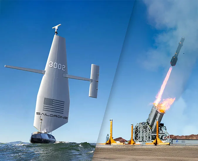
Saildrone is thrilled to enter into a public-private partnership (PPP) with the University of New Hampshire (UNH) and the Monterey Bay Aquarium Research Institute (MBARI) to advance deep-water ocean mapping capabilities with a new 72-foot unmanned surface vehicle (USV) known as the Saildrone Surveyor. The PPP is supported by a three-year grant from the National Oceanic and Atmospheric Administration (NOAA) Office of Ocean Exploration and Research (OER) through the National Oceanographic Partnership Program (NOPP).
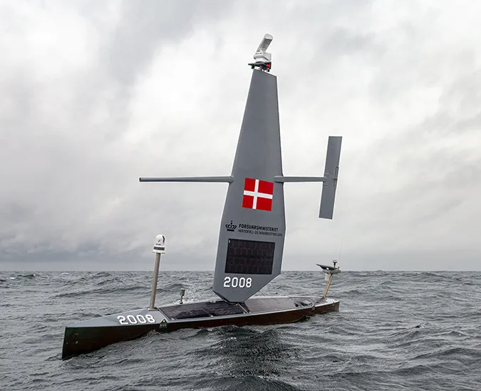
The Saildrone Surveyor is currently under development at Saildrone’s Alameda, CA, manufacturing facility and is expected to be deployed in spring 2020. The increased size of the vehicle will provide the power, speed, and payload required to carry a Kongsberg EM 304 multibeam sonar. The Surveyor will collect detailed mapping of the seafloor and water column, which will be transmitted back to shore in real time.
Researchers at UNH will analyze and evaluate the quality of the data collected by the new vehicle and lead the development of autonomous data quality monitoring tools to identify targets of interest. MBARI will work to integrate environmental DNA (eDNA) capabilities—DNA originating from the sloughed-off skin, mucus, and excrement of a wide variety of marine animals—into the Surveyor platform.
“We are very pleased to be working with UNH and MBARI to further ocean characterization research using eDNA and achieve global bathymetry goals, like those set forth by Seabed 2030. Over the past five years, Saildrone USV’s have performed extensive missions in the Arctic, Antarctic, and Pacific and Atlantic Oceans, proving it to be a capable and effective vehicle for collecting data in the most extreme environments. Saildrone Surveyor is an exciting evolution that leverages all our expertise and experience to create an extremely capable platform,” said Richard Jenkins, founder and CEO of Saildrone. Seabed 2030 is a UN-backed joint initiative between GEBCO and the Nippon Foundation to produce a definitive map of the world ocean by 2030.
Like the 23-foot Saildrone Explorer, the Saildrone Surveyor will be powered by wind for forward propulsion and solar to run onboard instruments. The smaller saildrones are designed to autonomously navigate a series of set waypoints; the Saildrone Surveyor will be remotely piloted from shore rather than operated autonomously.
“This innovative partnership will produce a much more efficient and cost-effective way to collect needed data for mapping the ocean and monitoring the marine environment. The data we will collect will play a critical role in safety of navigation, tsunami and storm surge predictions, ecosystem and other environmental studies, and modeling climate change,” said Larry Mayer, professor of Earth Science and Ocean Engineering at UNH’s Center for Coastal and Ocean Mapping (CCOM), and co-head of Seabed 2030’s Arctic and North Pacific Regional Data Center.
Multibeam sound data isn’t only used for mapping; the backscatter off the ocean bottom can be used to infer the seafloor type, for example, rock, coral, sand, mud, or clay—useful information for nautical charting, anchorages, resource and habitat management, marine construction, and telecommunications. In addition to multibeam sonar and eDNA sensors, Saildrone Surveyor will be equipped with a suite of instruments to collect oceanographic and meteorological data above and below the sea surface, supporting a wide range of research applications.
Resources
“UNH Sails into the Next Generation of Ocean Mapping With NOAA Grant,” University of New Hampshire, December 10, 2019