Published on
Author
Ocean observation is important beyond mere curiosity; it is critical to making informed decisions to protect and preserve the delicate balance of the planet for future generations. Ocean observation plays an integral role in national security, determining how to defend offshore and onshore assets; creates a time series of ocean data necessary for understanding how climate change is impacting extreme weather events; and it is required to grow our Blue Economy to leverage and manage natural resources.
The National Data Buoy Center (NDBC) operates some 200 moored buoys in the Pacific and Atlantic Oceans, from the Arctic to the equator, as part of three separate networks: tsunami monitoring / deep-ocean assessment, tropical ocean observing, and coastal ocean weather observation.
There are only about 100 weather buoys to cover almost 100,000 miles of United States coastline. The buoys are located in areas critical to forecasting and in areas that are highly difficult and dangerous to operate in, providing in situ awareness for mariners, such as fishermen. And while these buoys provide a valuable time series of the ocean, they are not nearly enough. The ocean covers 70% of the Earth’s surface but has only about 1/10th as many observing stations as on land.
NDBC Director Dr. William Burnett says there is an urgent need for what he calls a “system of systems” to resolve observation gaps:
“We don’t need to build a 1,000-moored buoy network. That’s not achievable. What we need is a conglomerate of moored and uncrewed systems working together to resolve ocean observation gaps to protect our communities and grow our economy,” explained Burnett.
Some NDBC buoys have been in the same location for 50 years and have captured a valuable climate record that provides insights into how the climate is changing, such as how cooling in the eastern Atlantic is impacting hurricane season. But moored weather buoys are both expensive and difficult to maintain. When outages occur, repairing them requires a large ship, and the moorings can impact the seafloor.

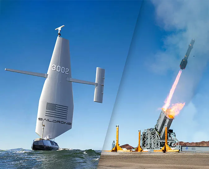
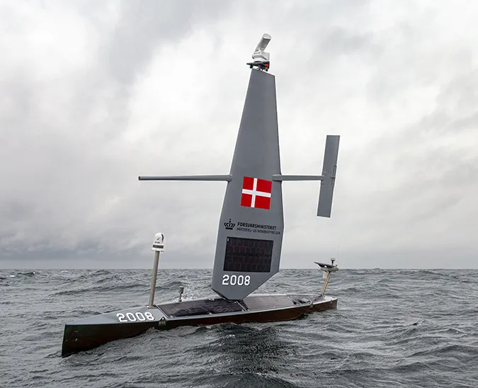
Saildrone uncrewed surface vehicles (USVs) are very similar to weather buoys in the marine observations that they collect. Like buoys, they can stay in one place to provide a timeline of data or be tasked with collecting targeted observations in a much larger area, which would otherwise require a whole network of buoys.
Dr. Burnett described four areas where he’d like to see Saildrone USVs leveraged to improve the larger picture of ocean observations: “First, targeted observations to improve numerical weather prediction. Second, to provide broader spatial awareness in under-sampled areas, where it might be cost-prohibitive to deploy a group of buoys. Third, in our national marine sanctuaries, where moorings and anchors are harmful to the seafloor. And lastly, in the event of buoy outages, uncrewed systems on standby can be deployed to maintain observations in key areas.”
NDBC operates 13 weather buoys in national marine sanctuaries, which are designated to provide safe habitat for species facing extinction and to protect coral reefs, kelp forests, and historic shipwrecks. Since Saildrone USVs don’t require mooring or anchor material, they don’t disrupt the seafloor, which is particularly important in fragile ecosystems.

One of NDBC’s weather buoys, Station 46012 located in the Monterey Bay National Marine Sanctuary, went offline. In early 2023, the defunct buoy and the mooring and anchor material were completely removed. With the buoy gone, forecasters had to rely on passing ship observations and data from other nearby buoys.
In September 2023, with funding from the National Oceanic and Atmospheric Administration (NOAA) Office of Marine and Aviation Operations (OMAO), Saildrone began a long-term mission to replace the buoy off the coast of Half Moon Bay, CA. One year later, Saildrone is still on station, providing much-needed weather data about storms approaching the California coast.
This is not the first time Saildrone USV has been integrated into the NDBC network. In 2022, two Saildrone Explorers were deployed to the Gulf of Mexico to provide data near two buoys experiencing critical outages. However, the light winds and the strong Loop current in the Gulf sometimes made it challenging for the purely wind-powered saildrones to stay on station. Windy areas like off the coast of California are perfect for using a Saildrone USV.
Saildrone USVs are deployed from shore and transit autonomously to the operation area, where they can survey a large area according to designated routes or hold station like a buoy.
“One thing we’ve learned over the course of working with Saildrone is that some ocean observations have more value than others. Some observations can improve forecasting of US weather patterns, while others directly contribute to the safety and security of marine traffic.”
It’s not just a question of moored buoys and/or Saildrone USVs; what’s needed is a system of systems that works in concert, including moored buoys and Saildrone USVs, along with drifting buoys, floats, and underwater gliders to create the full picture of the dynamic ocean environment.
NOAA OMAO has provided funding for one additional year of Saildrone observations in the Monterey Bay National Marine Sanctuary. What will happen to that weather station in the future remains to be seen.
The environmental impact of human actions on the ocean cannot be overstated. These activities have far-reaching consequences on marine ecosystems, from rising sea temperatures to ocean acidification. Understanding the ocean is key to mitigating these effects and fostering practices that promote ocean health and resilience in the face of ongoing challenges.
Resources
Dr. William Burnett, “Comprehensive Ocean Observation Calls for a Cooperative System of Systems,” opinion, Ocean News & Technology, February 16, 2024


