


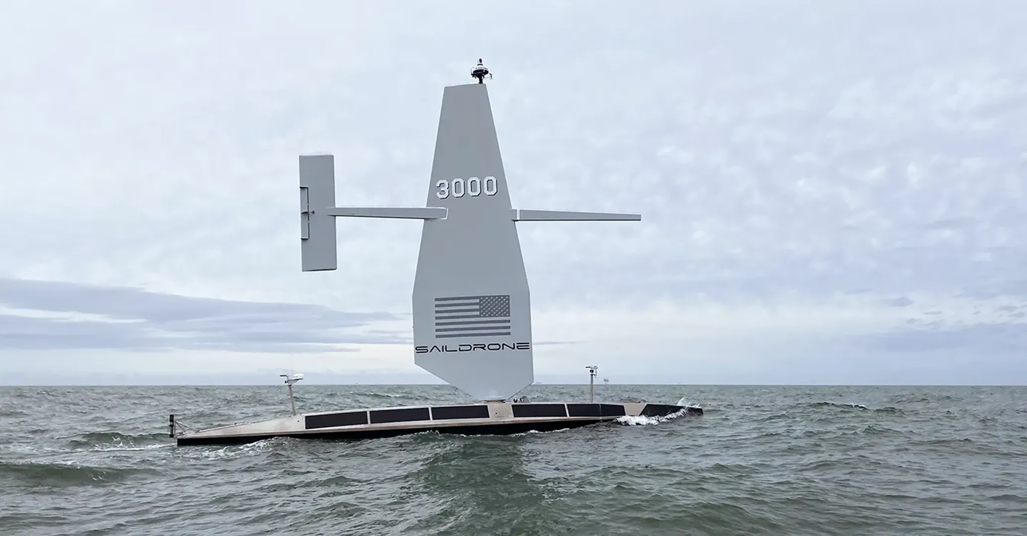
Scalable Solutions for Trans Ocean Cable Surveys
Ideal for subsea cable route surveys, Saildrone’s survey solution is low-cost, low-impact, and easily scalable—with assets that are readily available to meet customer timelines. Saildrone delivers high-quality deepwater survey data more efficiently and cost-effectively than traditional ship-based methods, presenting a groundbreaking shift in maritime accessibility.

Benefits
Speed Up Ocean Access with Advanced Technology
Saildrone reduces the operational cost, complexity, and risk of trans-ocean cable hydrographic surveys. Saildrone vehicles operate 24/7, even in challenging environments, while collecting high-resolution mapping data. And, they’re available now.
Immediate Availability
There is a global backlog for traditional survey ships. But Saildrone USVs are available now.
Low Carbon
Propelled primarily by renewable energy in the form of wind and solar power, Saildrone USVs are the leading environmentally-friendly ocean data solution operating in near silence with almost zero carbon emissions.
Unparalleled Capability
Saildrone Surveyor’s advanced sonar system offers deepwater ocean mapping not available from any other autonomous platform.
Challenging Environments
Saildrone USVs have demonstrated their ability to withstand even the most challenging ocean conditions. From Arctic missions to hurricane tracking and Antarctica circumnavigation, Saildrone USVs have consistently proven robust and reliable.
Long Endurance
Leveraging solar and wind power, Saildrone vehicles operate for extended periods without requiring land-based maintenance or refueling.
Data Quality
Saildrone's cutting-edge technology delivers high-resolution mapping data to depths of 11,000 m using state-of-the-art multibeam bathymetric sonars, to meet the highest international and industry standards.

RECENT MISSIONS
Placeholder Title
Lorem ipsum dolor sit amet, consectetur adipiscing elit. Suspendisse varius enim in eros elementum tristique. Duis cursus, mi quis viverra


EXPLORE
Featured Resources


HOW IT WORKS
Your Mission is in Good Hands
Mission Planning
Saildrone Mission Management undertakes a rigorous, comprehensive planning process in close collaboration with clients. A thorough feasibility analysis identifies the deployment zone, and the most optimal routes for mission success are ascertained.
Mission Execution
Saildrone manages missions end-to-end, including logistics, deployment, and operations. The Mission Portal enables remote monitoring for real-time data assessment and customization of survey plans to meet clients’ needs. Raw data is quickly processed through a high-speed, low-latency Starlink connection.
Post Mission
After the mission concludes, Saildrone will handle vehicle retrieval and logistics. Our experienced ocean data research team can then process the data and deliver comprehensive data packages to our clients.
.webp)

Client Stories
Discover how Saildrone technology is used to economically collect high-resolution deep sea bathymetry data in a range of ocean environments.
“
The data quality from the surveyor is of very high quality, and as good as anything we have seen from a ship. Due to the wind-powered nature of the vehicle, it is very quiet, and this enables the very accurate acoustic measurements needed to map to these depths.”
Larry Mayer
Director of UNH Center for Coastal and Ocean Mapping (CCOM)
“
The completion of the summer mapping mission using saildrones is an achievement for all involved. This mission lays the groundwork for future mapping operations in not only the Arctic but other remote locations.”
Rear Adm. Shephard M. Smith
Former Director of NOAA Office of Coast Survey
